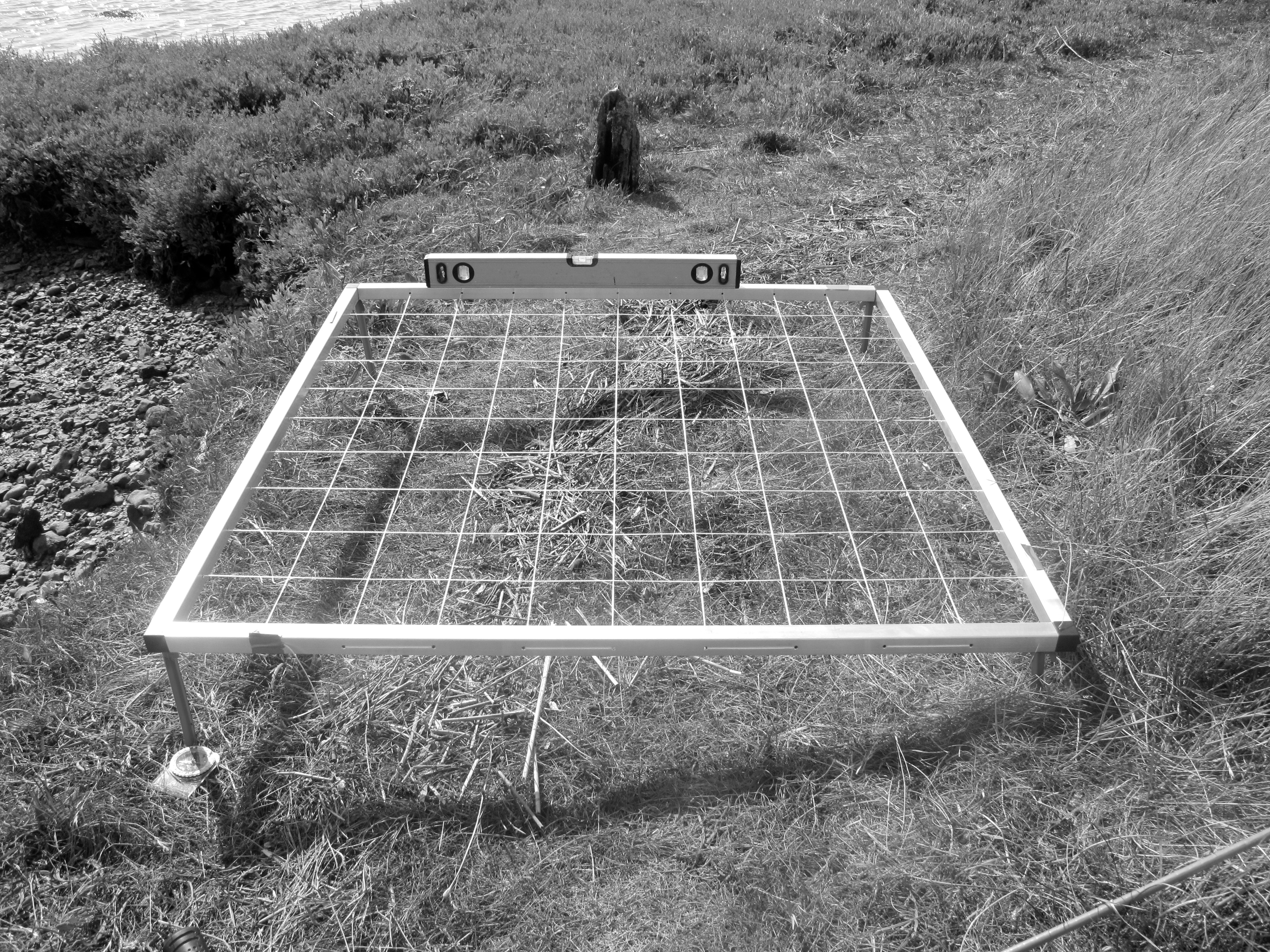

The land is relatively vast in proportion to capacity for observation and reflection, so I am considering different means to focus my looking. Borrowing the principle of the planning grid from archaeology which is employed to trace layers in the land peeled back in time, I will observe the present surface and its future changes.
A square metre is just one stride out of thousands made in a single day and so different locations along the littoral must be strategically chosen. It feels like a good way to begin contemplation of whatever washes up, lives and dies, or erodes within such tiny windows onto the world.
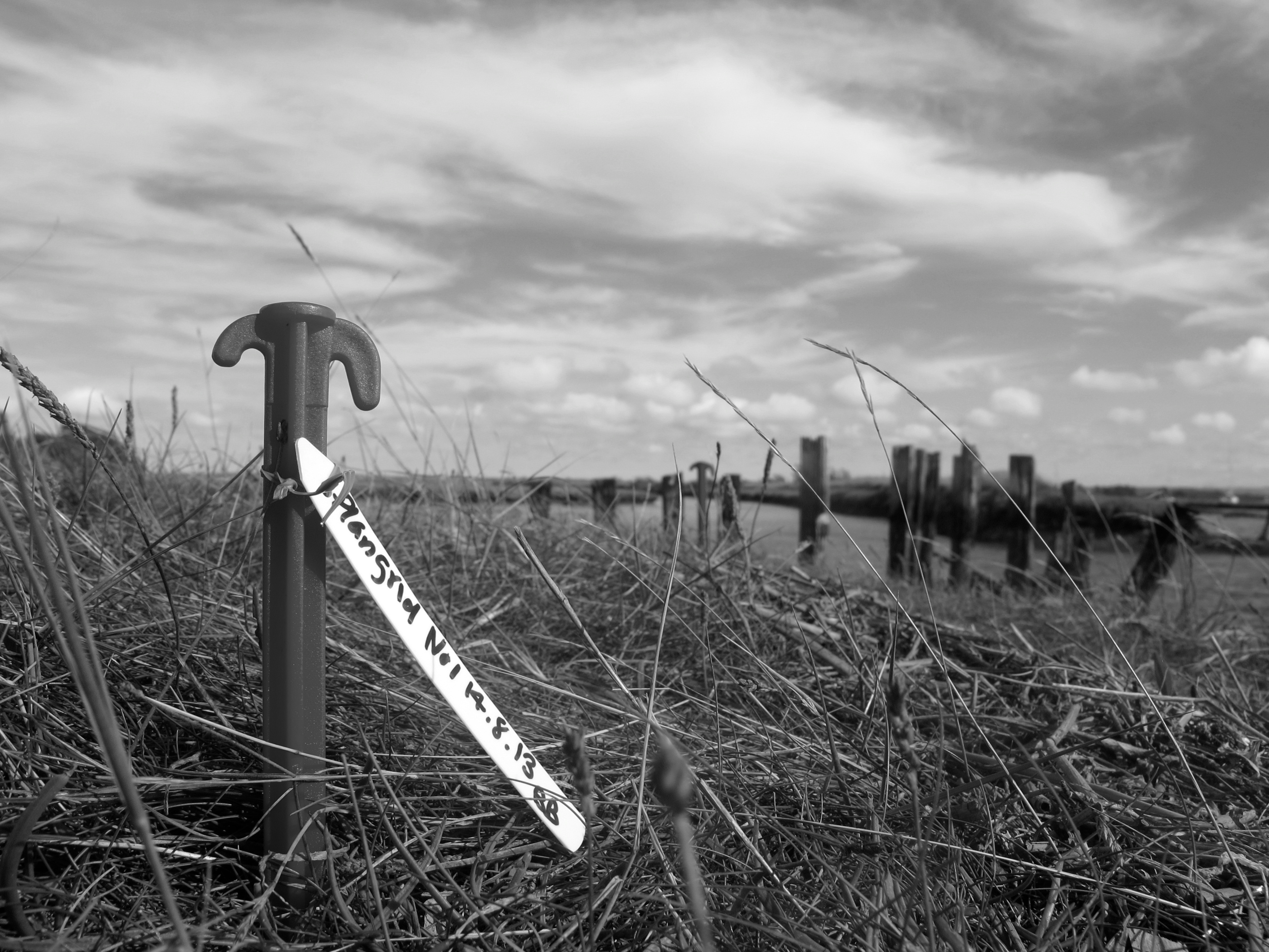
This window is at N59˚47.129′ & W001˚24.453′ and my Garmin cannot quantify if it is at three or one foot above mean sea level. The ‘spirit’ level is of as much interest to me.