
Category Archives for Tide & Change
Sans Samphire

50˚47’08.10″N x 1˚24’27.91″W
July 13th, 2014
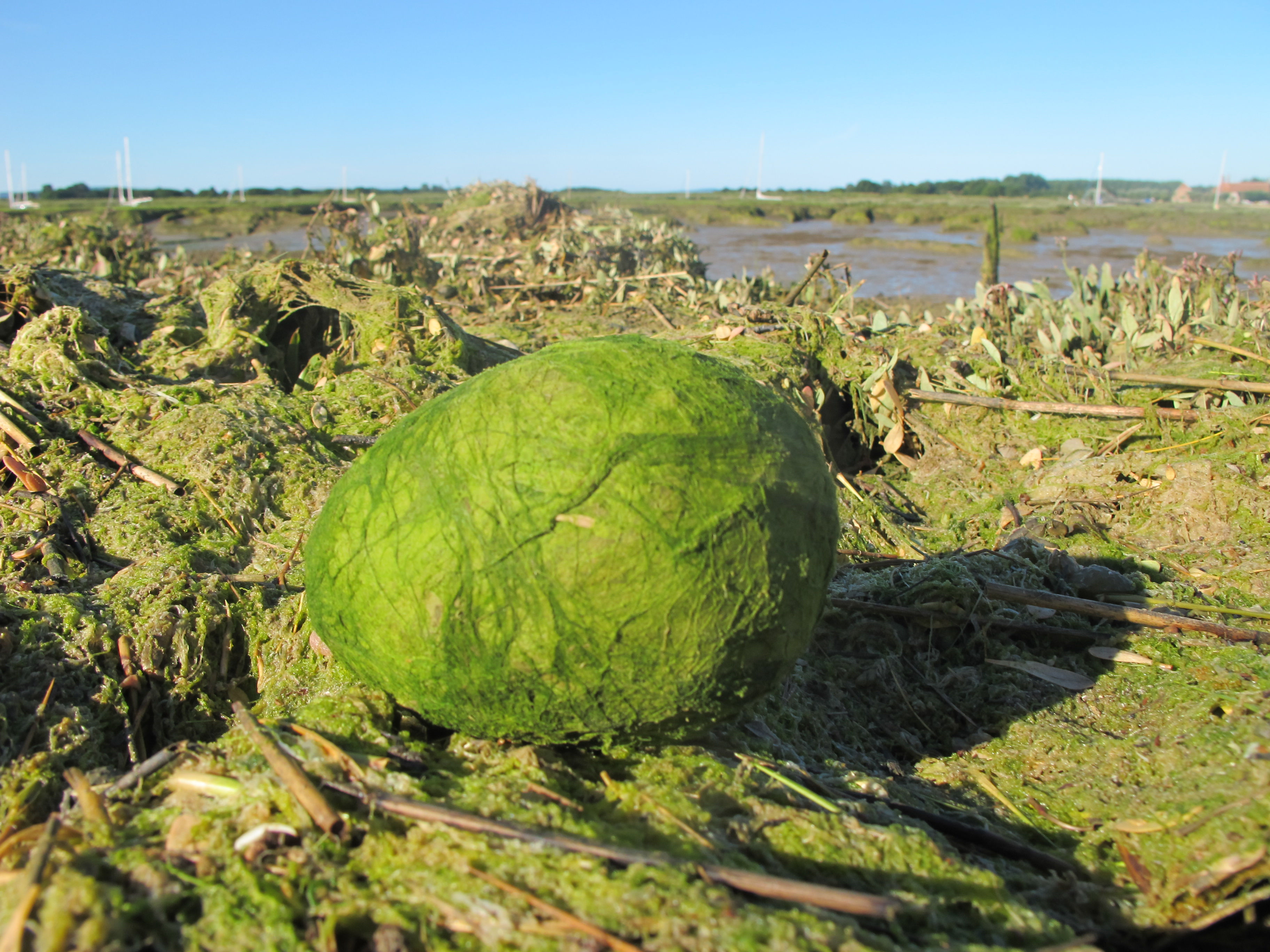
Last year the Samphire grew thickly on the marsh beside the Egg, but this year there is none at all in prospect here. The mud bank has lost height and has been covered in a thick layer of green algae for the last few weeks, which may have had an effect. My sense overall is of the width of marsh narrowing.

50˚47’08.10″N x 1˚24’27.91″W
July 17th, 2013
Below the Waterline

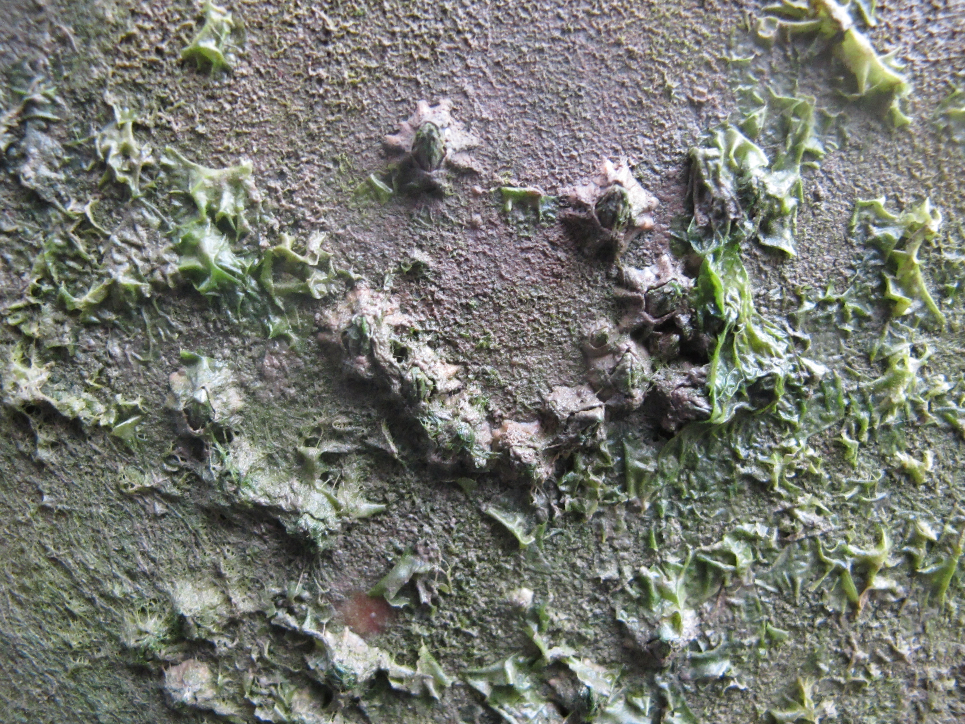
The crab sat unmoving for over an hour in the shade of a three inch high mud cliff, stirring only when the sun rose sufficiently to pierce his shadowy retreat.
Dusk until Dawn
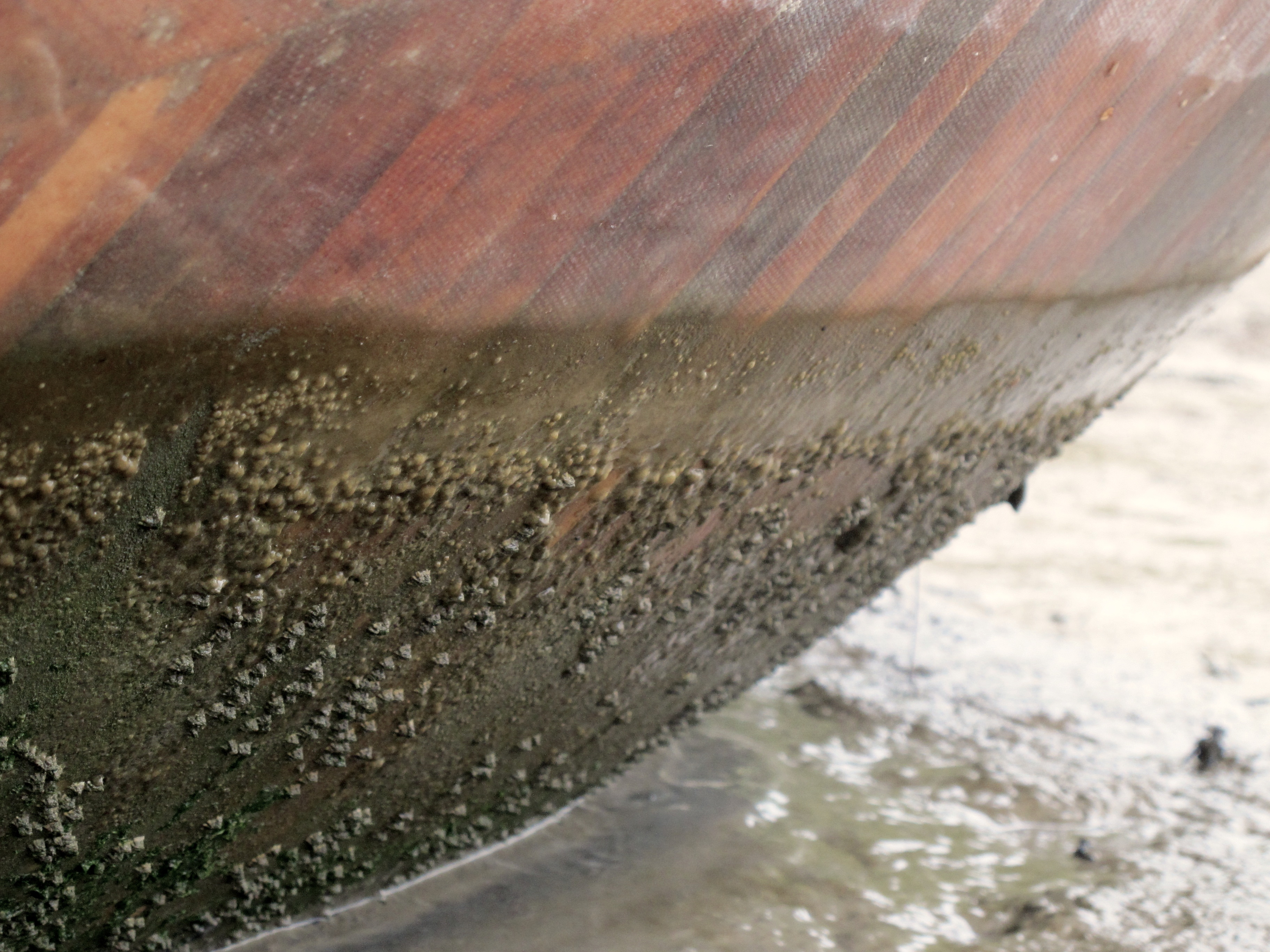
Erosion
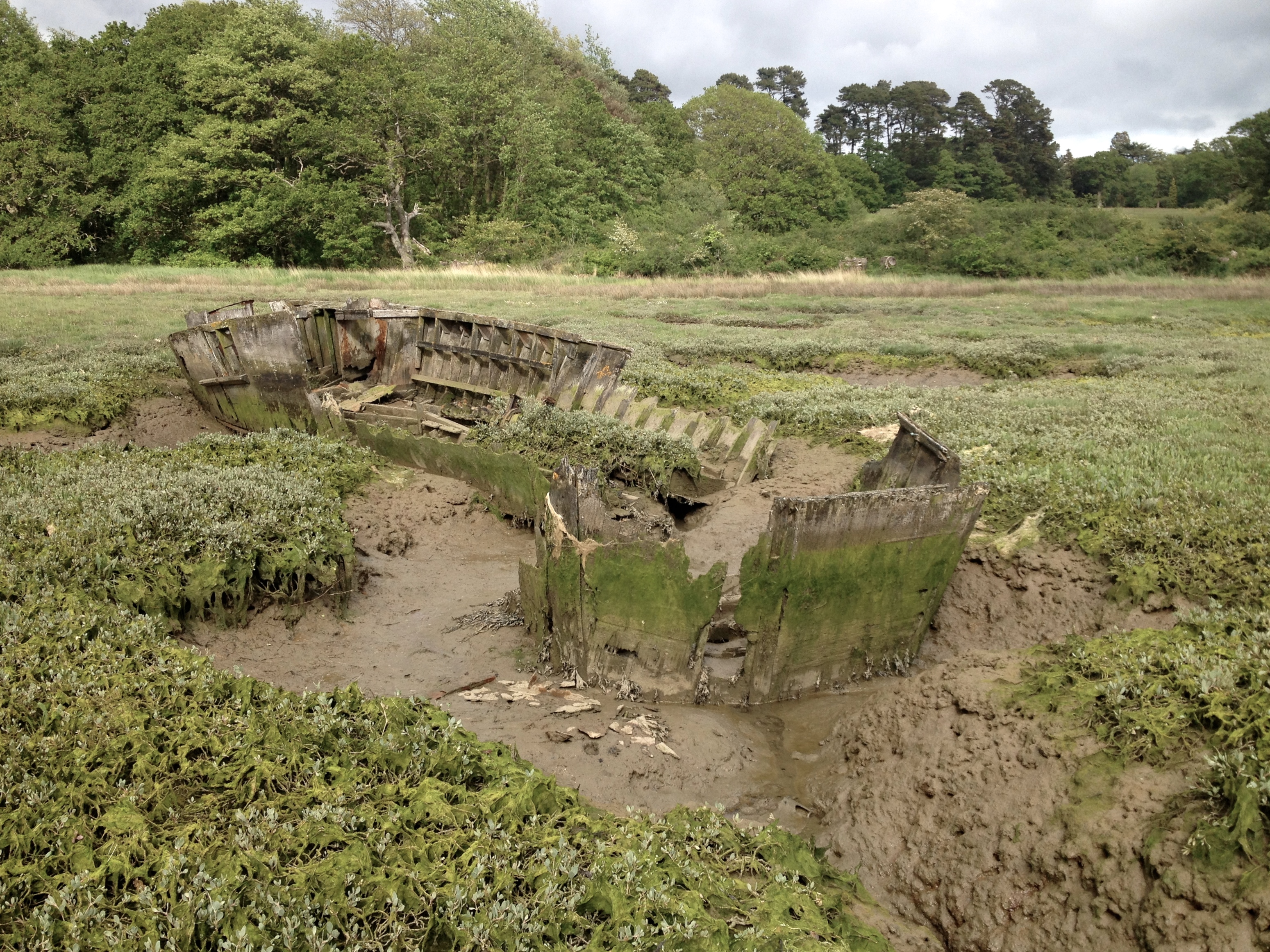

The decayed wooden hulk of the supply boat @ 50º47’54.53″ N & 1º24’33.35″ W, dates from the later days of the second world war and it is slowly returning to the (soggy) earth from which its timbers originally sprang. Every day adds a story to its seventy year long narrative, as here, in my own parish, the wooden walls of the Egg begin their own journey.
Boundaries
Land argues with the risen tide all about its borders. Delicate sea pink threatened by the advances of grey brine on a cold May day.
Tide Marks
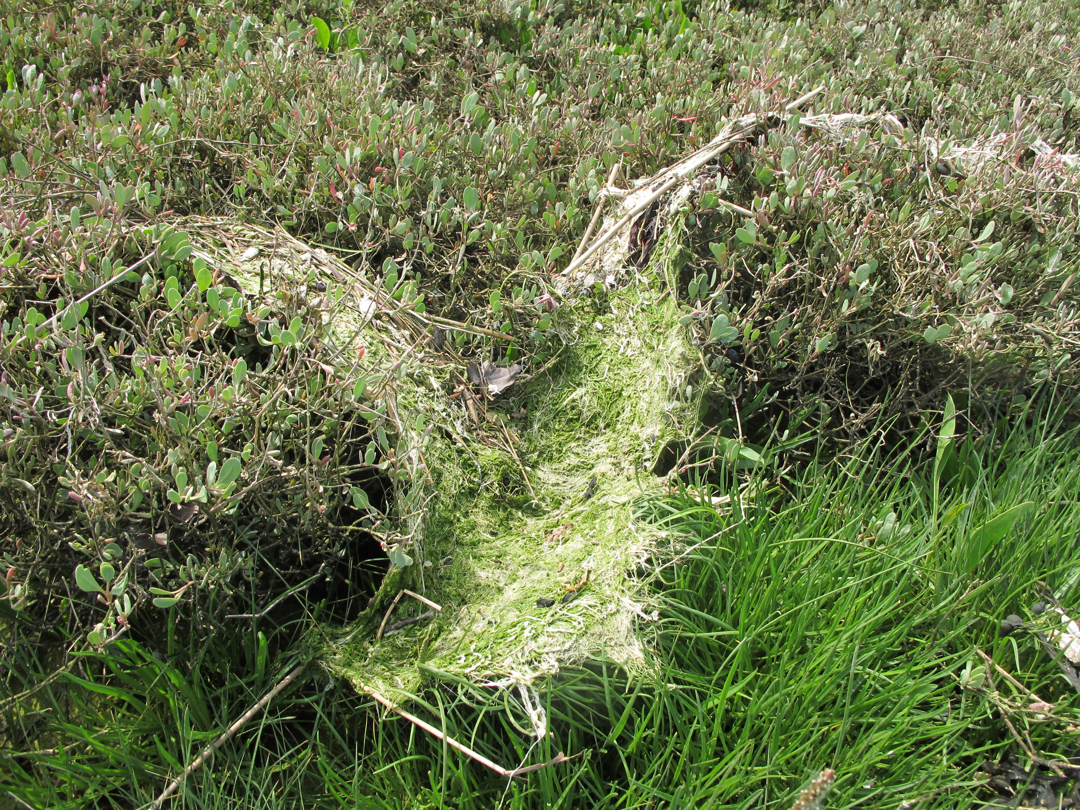
The river gathers and weaves together all manner of flotsam into organic carpets formed by rippling waves meeting shore, where today they were dried by the sun. They are an indicator of season, height of tide, local growth and animal life. The presence of people is frequently to be found in their plastic additions. Each tells its own story.

After Life

An examination of the two dead mice found last summer revealed different processes of decomposition; one of dry mummification and the second of slimy rot. I will remove the slime on the latter and bring into light its skeletal structure.


diagram courtesy of http://imgarcade.com/1/rodent-skeleton-diagram/
Currents

The well eroded branch of a riverine oak beside the river at Exbury is a swirling eddying ocean of currents which echo the wider pattern of the world’s oceans imaged from data captured by NASA satellites circling the earth between 2005 and 2007.
Tangled Up and Blue

The northern edges of the sinewy outer bank I call Snake Island, were rich in strands of unravelled polyester rope of many bright colours, twisted around the branches of tamarisk bushes and out across the river bed; little reminders of our poor and tangled relationship with all things natural. All being well, the pink flush of the tamarisk blossom will add its own distinctive hue to the scene in just a few weeks time.
